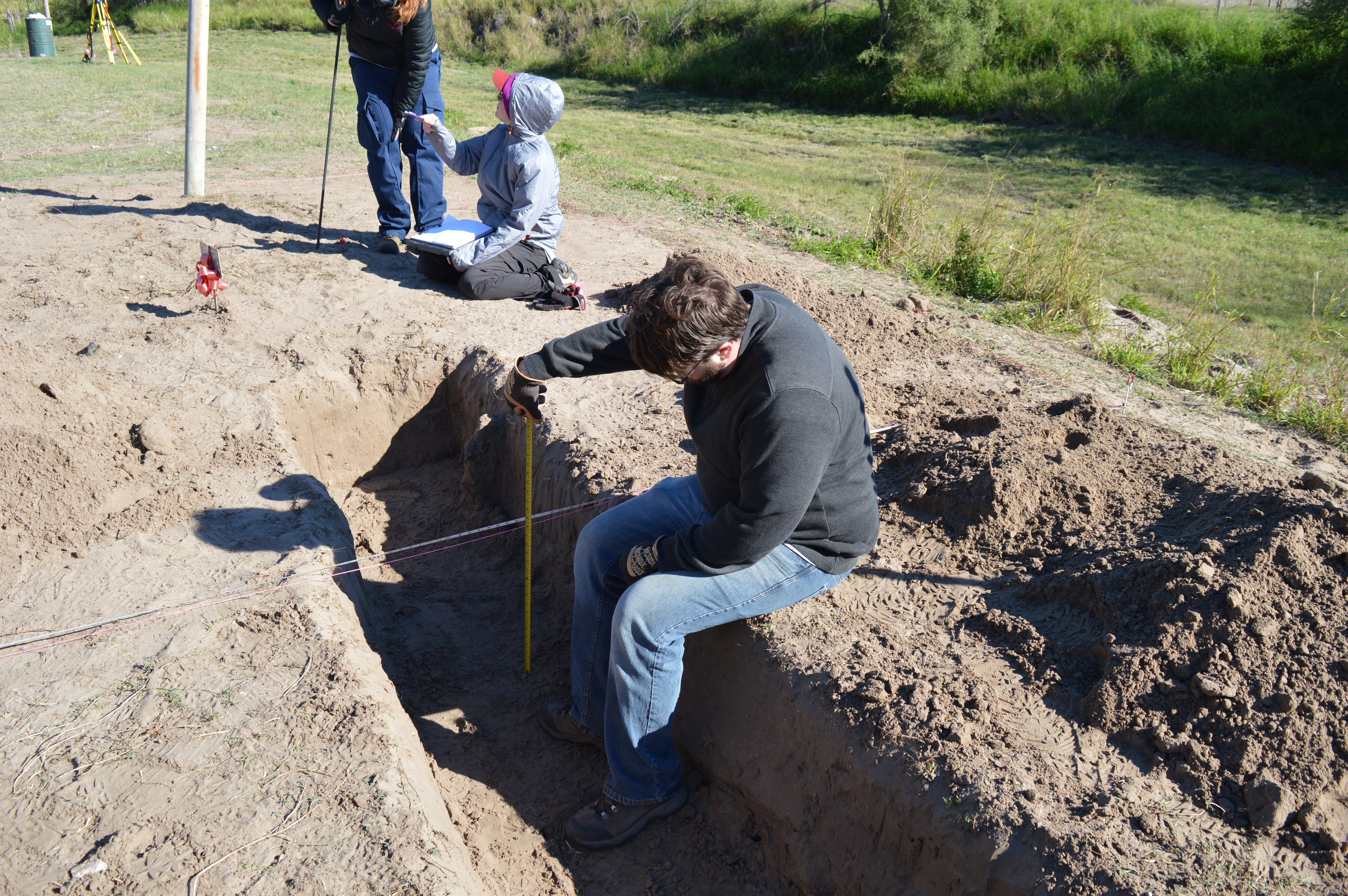
My role down in South Texas is mapping expert. This means that I am responsible for constructing to-scale maps of Area 3, Area 1, and tying in Areas 2 South and 2 West to the original 2014 map of Area 2. Before coming to Texas, I met with the former mapping expert, Erica, to go over the best ways to collect data and construct the maps. She gave me many great pointers that I have found very helpful while down in Texas. One of the most important tips she gave me was to make clear to all teams that measurements should originate from the baseline and not the gridlines. I have found this piece of advice particularly helpful because it makes clear where the measurements originate from even when I am not familiar with the particular excavation area.
Before this trip, I was told that we would be excavating Area 3 and that I would be constructing the maps for this area. However, because this area was finished in three days, both UIndy and Texas State moved to new areas within the cemetery. UIndy revisted Area 1 to re-check the quadrants now that it’s better understood that there are no patterns to how and where these burials were placed. Texas State moved to two new areas, Area 2 West and Area 2 South, to investigate land marked with Unknown Remains burial markers. These additional areas mean that I have gone from constructing maps of one area to constructing maps of three different areas.
There are a number of challenges that I have faced when constructing my maps. Because so much dirt is being moved in Area 1, the pile is growing too large and is covering the baseline I am supposed to be taking measurements from. Because of this, I have to use different points of reference and quadrant boundaries to map in the burials and trenches. Despite taking measurements from different points of reference, in the final map, I need to convert these measurements to as if they are coming from the baseline itself in order to standardize my data. Math is not my strong suit, so doing the calculations and converting the numbers is challenging for me. Thankfully, the other members of my team are there for moral support and mathematical help.
Another challenge I have faced while mapping is that I am only present for the collection of measurements from the areas being excavated by UIndy. Because I am familiar with the orientation of the burials, determine what points to take, and am present during the collection of all data, it is easy to recognize mistakes and construct accurate maps. Because we are so busy and are working in different areas of the cemetery, I do not have the chance to see all of the areas that Texas State is excavating, the orientation of their burials, or the way in which they are collecting their data points. This has proven very difficult for me, as I do not have a mental image to match the measurements to which makes it difficult to recognize mistakes. Thankfully, I have started to catch on to the methods they are using and am better able to quickly check for and correct mistakes.
Despite these challenges, I am so glad that I am able to fill the role of mapping expert for this field season in South Texas. I believe that I am emerging a stronger mapper, which will continue to help me during forensic cases when mapping a scene is necessary. The problem solving and mistake-catching associated with mapping, although frustrating at times, is teaching me how to think critically about what I am doing and how to look at data and recognize discrepancies right off the bat. I am so grateful for this opportunity and am excited to finish the final products!